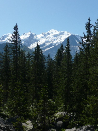
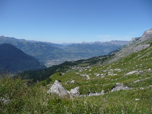
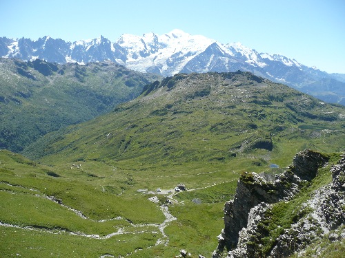
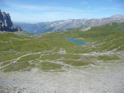
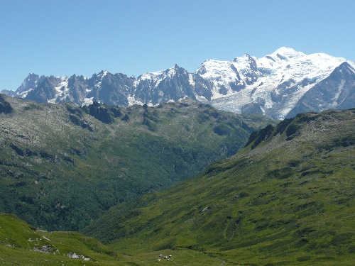
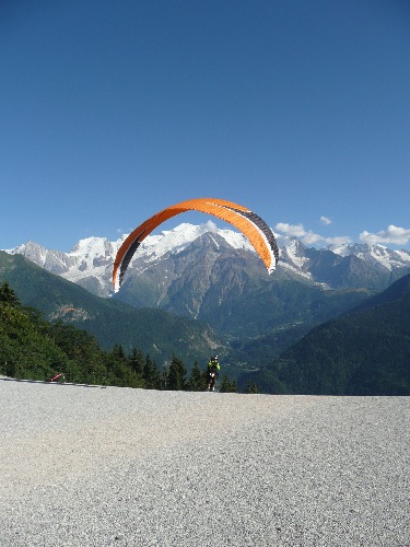
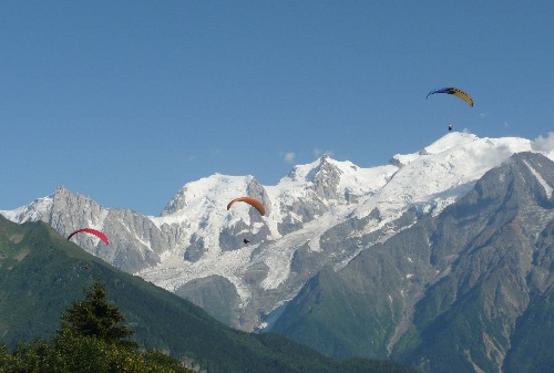
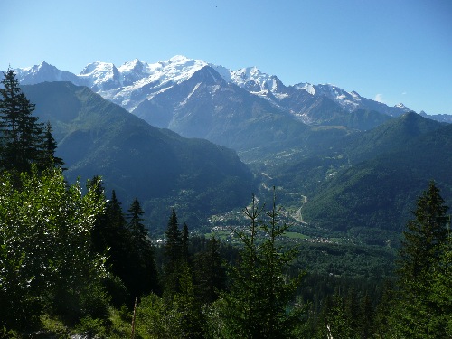
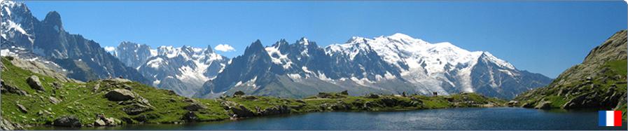
 25 - Col d’Anterne, Lac de Pormenaz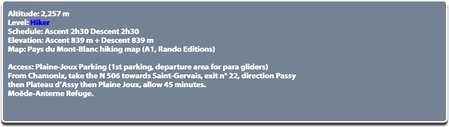 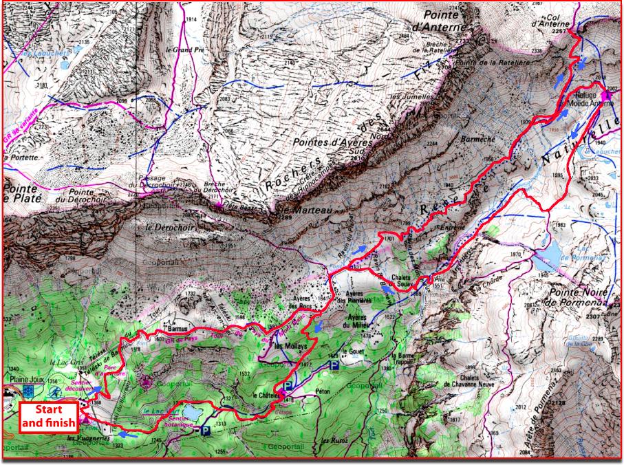 © GEOPORTAIL   Park your car at the 1st parking of Plaine-Joux at the tee of para gliders (the road continues to the 2nd parking lot of Lac Vert). From the car park, head to the ski lift (on the left when you arrive from Plateau d’Assy) then take the gravel path of the Tour du Pays du Mont-Blanc (TPMB) towards “Les Mollays”. The path runs along the edge of the forest and you quickly reach the clear, flowery mountain pasture of the Mollays (1,580 m) with its pastoral views of the Mont-Blanc. Continue the TPMB towards the Chalets des Ayères (1,641 m) which is reached in 30 minutes. You join a track which passes over the chalets towards the Col d’Anterne Refuge. The climb on this track (still TPMB) that winds under the Fiz Rocks and leads to the Col d’Anterne refuge is a little tedious. Within 2 hours, one reaches a junction just before the Col d’Anterne Refuge that can be seen on the right. Take the path on the left towards the Col d’Anterne. After a very steep climb of about 30 minutes, you arrive at the pass (2,257 m). From the pass, the view is 360°, on one side the Mont-Blanc, on the other you can see the emerald green Anterne Lake below, largest lake in Savoie, and the Anterne pastures with their sheep. The Anterne pass is a beautiful gazebo with unobstructed views, suitable for a picnic. From the Col d’Anterne, you can make a round trip to Lake Anterne (2,063 m) by adding 1 hour). Turn around and go back down to the Col d’Anterne refuge (2,002 m). From the refuge, the Fiz massif fortress with its multilayers of limestone is remarkable. Continue towards Lac de Pormenaz (1945 m), reached in 30 minutes. The lake is surrounded by diverse flora and it is not uncommon for people to swim. From there, to go down to Plaine-Joux, retrace your steps towards the Anterne pass refuge then take the first path on your left towards the Chalets du Souay (arrows “Les Argentières”). The steep path declines rapidly down to the stream of Souay which is crossed by a footbridge before joining the chalets (1,569 m). At the Ayères chalets you can join the path taken in the morning that leads back to Plaine-Joux by Mollays or continue the descent to the Middle Ayères, the Chatelet and join the emerald and transparent waters of the Lac Vert. From Lac Vert, go back to the panoramic parking of Plaine-Joux. © All reproduction prohibited. | ||
 | ||