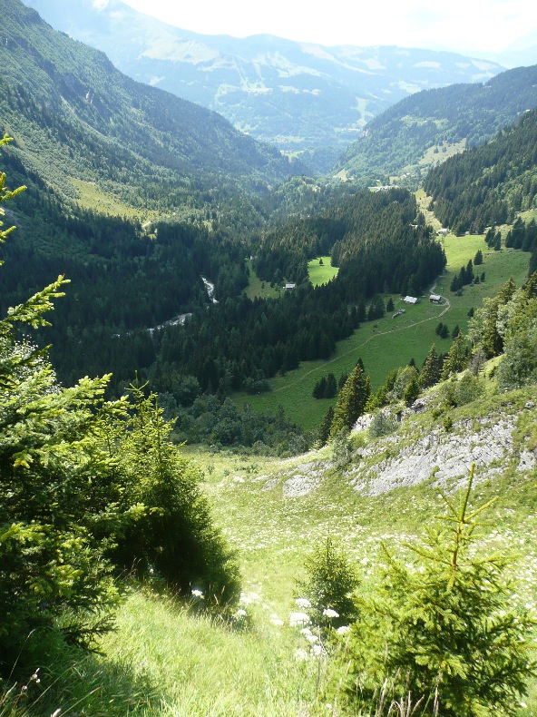
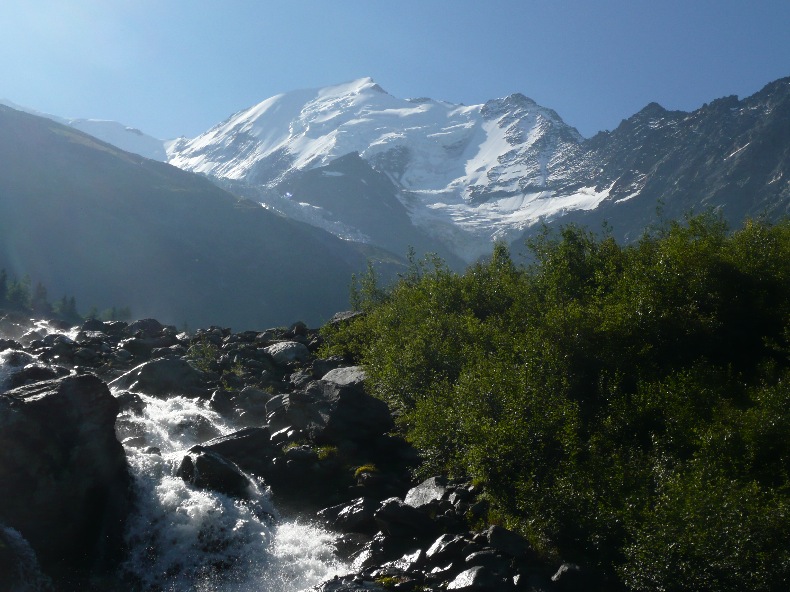
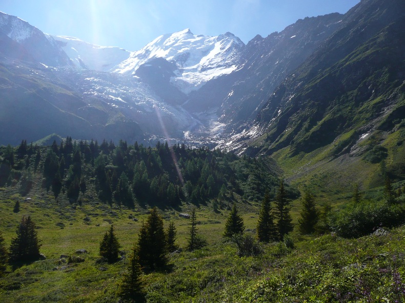
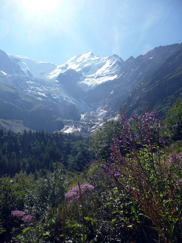
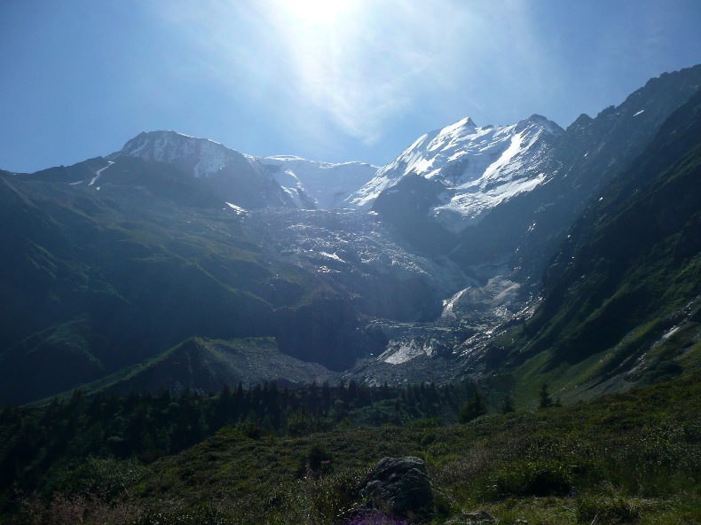
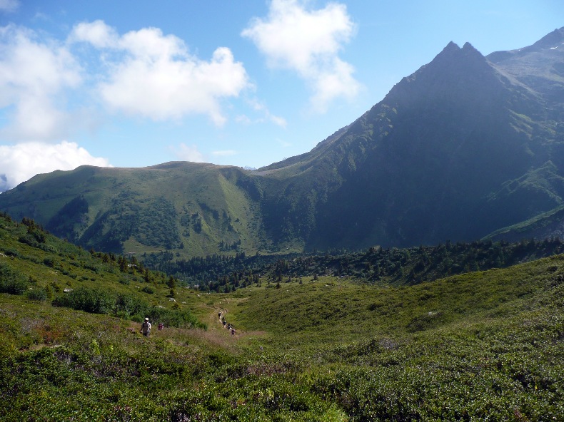
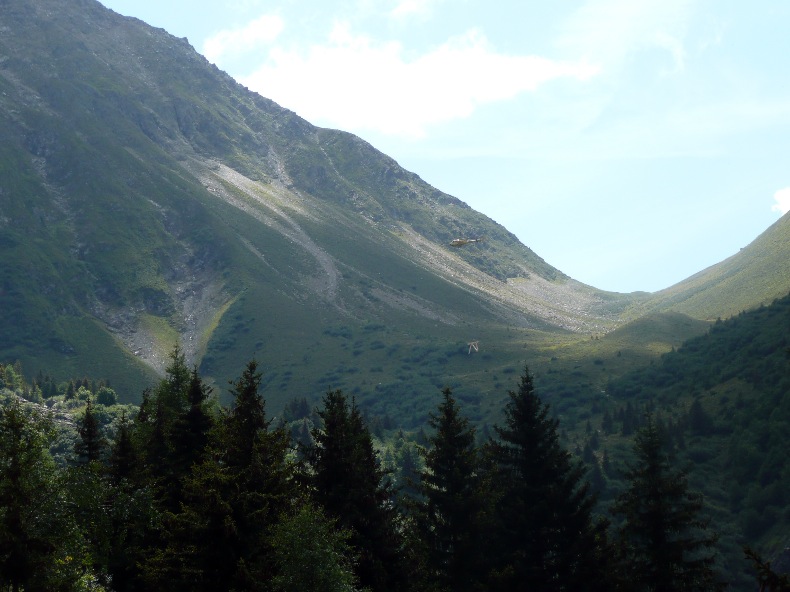
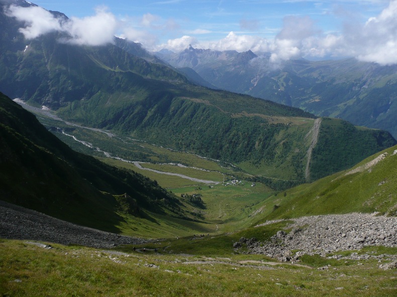
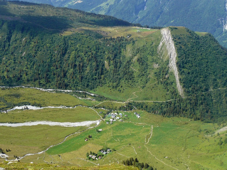
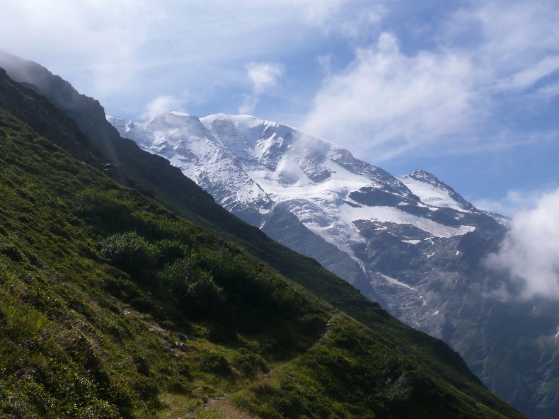
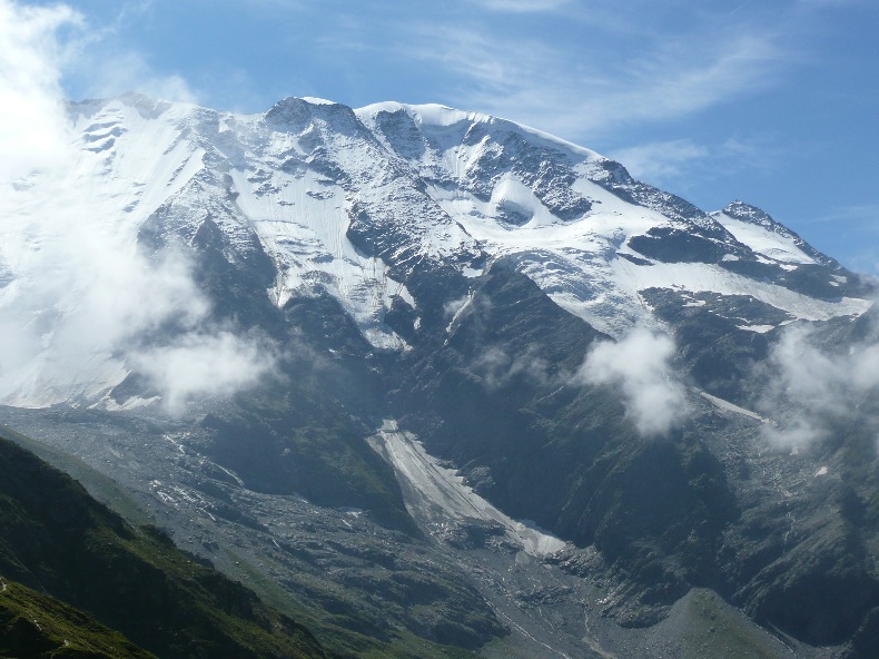
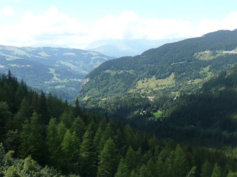
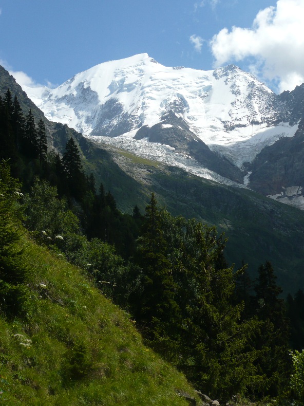
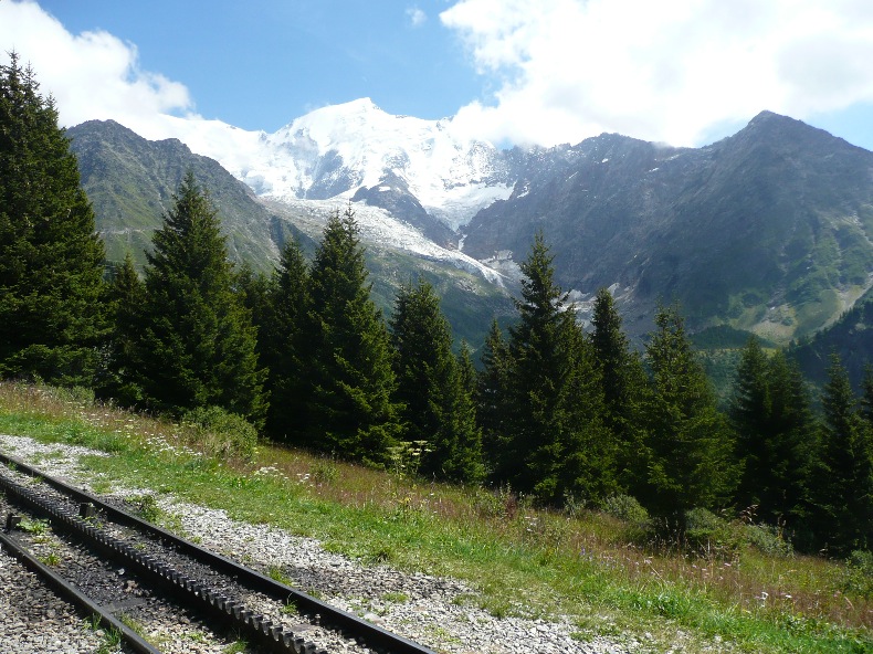
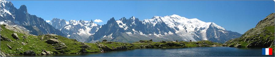
 24 - Col du Tricot (les Houches Bellevue)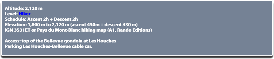 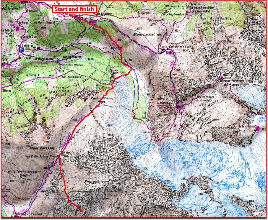 © GEOPORTAIL   At the cable car, head slightly downwards towards the Mont-Blanc Bellevue Tramway station and cross the tracks. The well sign posted trail leads into the forest to the pastures of the Are. At the first gate, continue straight through to a second gate. You get to a fork where you ignore on the left, a path that goes towards the Bionnassay glacier and the Mont-Blanc and Nid d’Aigle Tramway. By taking the winding trail to the right you reach a bridge suspended over the stream of the Bionnassay glacier (1,700 m). Breathtaking sight of the glacier, the Dôme du Goûter, the Aiguille de Bionnassay and the Mont-Blanc. Cross the bridge, the trail first climbs through a forest and then quickly moves through a wide uncovered valley with a beautiful panorama. You can see the refuge of Tête Rousse and that of the Aiguille du Goûter which is the starting point to the classical way up the Mont-Blanc. Once at the Col du Tricot, which is a focal point early in the climb, one dominates another valley with the Miage chalets below and on the same skyline just above, the Truc chalets. Panorama of 180° with the ski slopes of Contamines-Montjoie, the Montjoly, the Col du Bonhomme and on the left, the snow covered domes of Miage. From the Col du Tricot, one can follow the trail on the left towards the Plan-Glacier refuge (which is not on the IGN map, but easy to follow), it is an overhanging trail on the Miage valley that allows different views of the Miage domes. One can stop along the way for a picnic, without trying to reach the refuge (2h30), because one must think of the way back, it is also much quieter here than at the Col du Tricot. Go back to the Col du Tricot, then take the route in reverse. From the Col du Tricot: Chalets de Miage (1,559 m): 1h20 (One way) Truc Chalets (1,720 m): 1h55 (One way) to Mont Vorassy: 0h30 (One way) to Glacier Refuge (2,690 m): 2h30 (One way) © All reproduction prohibited. | ||
 | ||